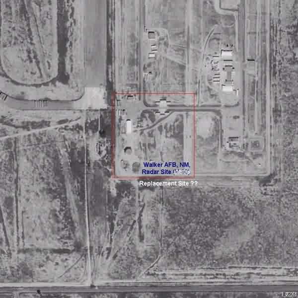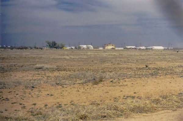
This photo (and all others showing the radar site) was taken from the fence line alongside the perimeter road. This photo was made at a point to the southwest of the site. The old search radar tower is seen near the center of the image. [Looking northeast]
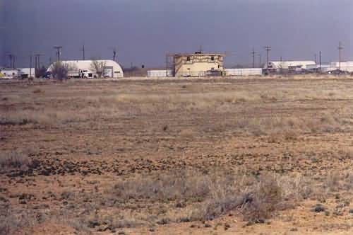
This photo was taken from the same point as photo #1, except a 135-mm semi-telephoto lens was used (the first photo was made using a 55-mm normal lens). [Looking northeast]
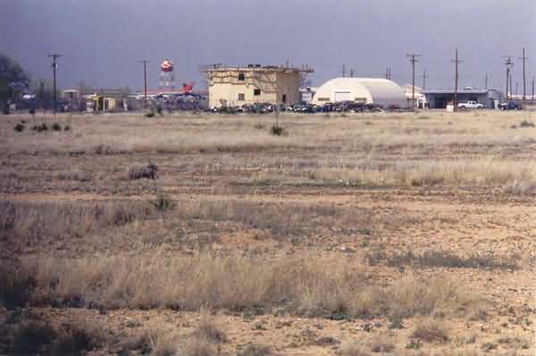
This photo was taken from a point further to the east, also using a 135-mm semi-telephoto lens. [Looking north-northwest]
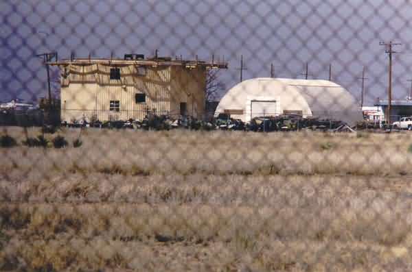
This photo is essentially the same as photo #3, except it was made using a 300-mm telephoto lens to capture a close-up of the old search radar tower. Presumably, the neighboring Quonset hut was part of the original radar station. [Looking north-northwest]
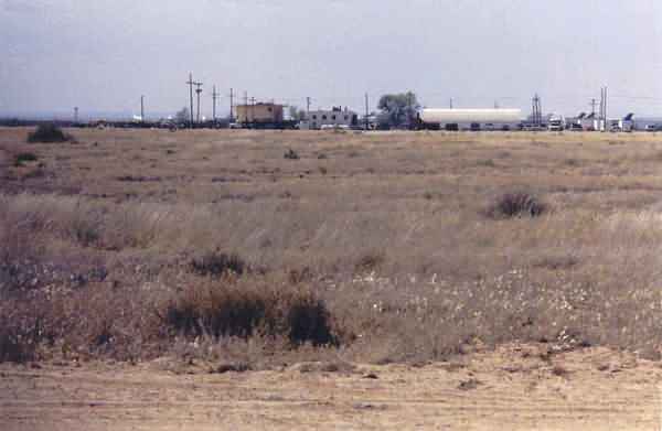
This photo (through a 135-mm lens) was taken further to the east than the previous ones. [Looking due west]
