Recent Photos of Boron AFS, CA
------------------------------------------------------------------------------------------------------------------------------------------------------------
The following eleven photos were made by Tom Page on 12 April 2025
.

The foundation of the former AN/FPS-26A frequency-diverse (FD) height-finder radar tower located on the radar site's west side (looking south)
.

Top surface of the former AN/FPS-26A radar tower foundation; the triangular area was for the radar antenna supports (looking west)
.

A somewhat more distant view of the foundation for the former AN/FPS-26A radar tower (looking west)
.

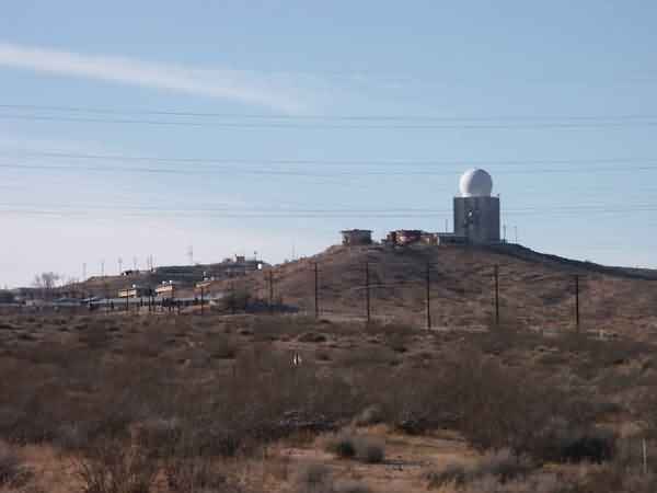
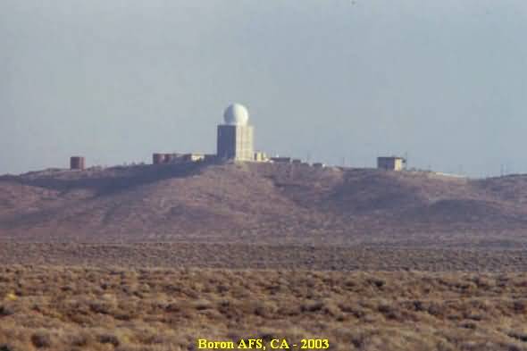
Here is a view of the FAA's tower for the Common Air Route Surveillance Radar (CARSR), previously a model AN/FPS-67 search radar. This tower originally housed the Air Force's AN/FPS-35 FD search radar (at the same location where the earlier AN/FPS-10 combined search & height-finder radar once stood). The AN/FPS-35 radar was installed circa 1961 and was removed in 1969; the AN/FPS-67 radar became operational in 1970. The AN/FPS-67 was subsequently modified to the solid-state CARSR in 2012.
Note that, where the road divides in the center of this image, is about where the AN/FPS-6 height-finder radar tower once stood; this radar and its tower were removed once the AN/FPS-26A FD height-finder radar was declared fully operational, circa 1963. To the right of the CARSR tower are the remains of the Air Force AC&W / SAGE (LRR and BUIC-II) Radar Operations building. (looking east)
.

Seen in the top center of this photo are the remaining foundations of the AN/FPS-20 search radar tower, and later the AN/FPS-6A / -90 height-finder radar tower. The AN/FPS-20 radar was installed so that search radar coverage could continue while the AN/FPS-35 radar was being installed. Sometime after the AN/FPS-35 radar was declared fully operational, the AN/FPS-20 radar was removed. The AN/FPS-6A / -90 height-finder radar was subsequently moved from its open steel temperate-style tower (just off to the east) to this arctic-style tower enclosed with a radome. (looking east-southeast)
.

Here is a closer view of the foundations of the AN/FPS-20 and AN/FPS-90 arctic-style radar tower. (looking east)
.

A view of the FAA's CARSR tower as seen from its southeast side (looking northwest)
.

A far distant view of the former cantonment area (left) and family-housing area (center), as seen from the radar operations area on the hill. All buildings have been removed. (looking south-southeast)
.

Foundations of the former Air Force AC&W / SAGE (LRR and BUIC-II) Radar Operations building (looking northwest)
.

This cable trough leads to the location of the former AN/FPS-6 height-finder radar tower, and was later extended to the AN/FPS-26A FD height-finder radar tower off to the west. One foundation / footing remains for this AN/FPS-6 tower (which was an open steel temperate-style radar tower). This only remaining tower foundation / footing is cut off at ground level, with three mounting bolts still visible. It is located at the end of the above-ground section of this cable trough, just to the left. The next photo shows a close-up. (looking north-northwest)
.

The only remaining foundation / footing for the open steel temperate-style radar tower for the AN/FPS-6 height-finder radar, the one on the radar site's west side. This AN/FPS-6 radar tower stood roughly halfway between the AN/FPS-35 FD search radar tower (later used for the AN/FPS-67, now CARSR) and the AN/FPS-26A FD height-finder radar tower. This temperate tower was removed sometime after the AN/FPS-26A was up and running. (looking north-northwest and down)
.
--------------------------------------------------------------------------------------------------------------------------------------------------------------
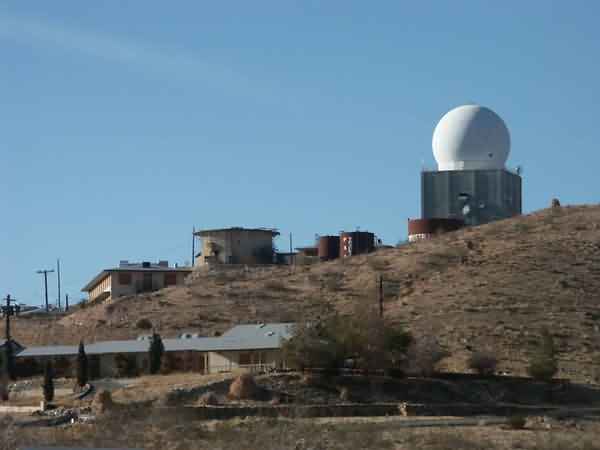
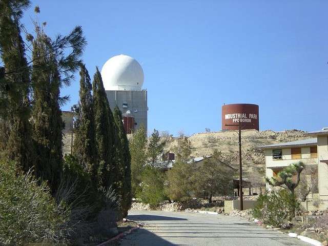
The following two photos' source: http://aeiak.com/project/boron-air-route-surveillance-radar-tower-renovations/ (date unknown)


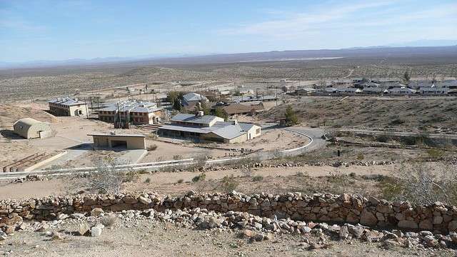
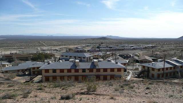
Following three photos' source: http://www.flickr.com/photos/california66er/page4/
(C) Copyright 2009 - All Rights Reserved - Displayed Here for Historical / Non-Commercial Purposes Only
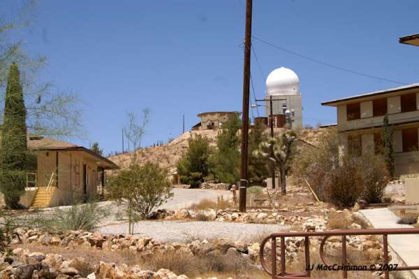
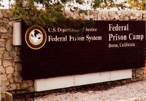
Source: http://www.vote29.com/newmyblog/archives/8306
(C) Copyright 2007 - All Rights Reserved - Displayed Here for Historical / Non-Commercial Purposes Only

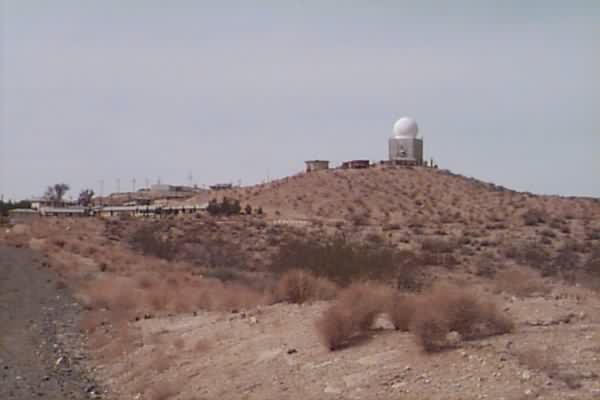
2006 photo
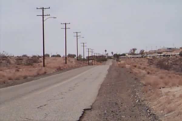
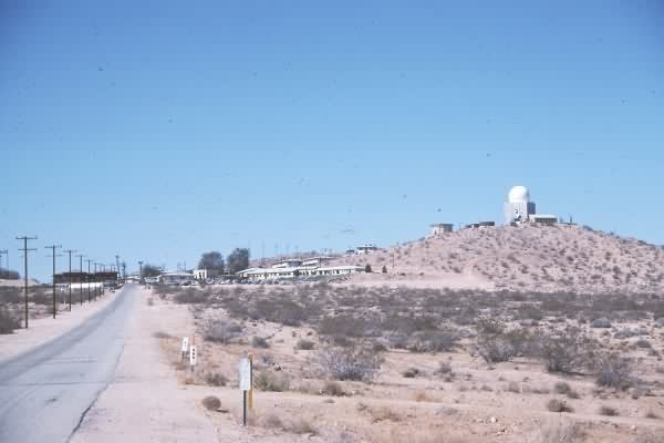
July 2005 photo contributed by Tim Tyler
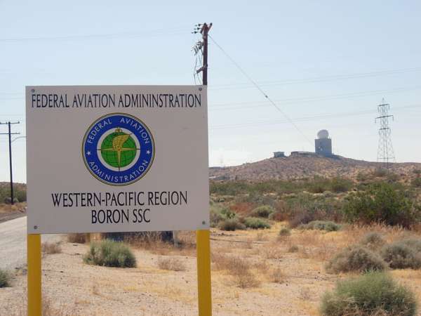
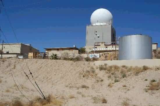
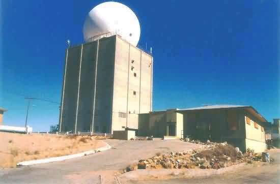
Photo source: http://ludb.clui.org/ex/i/CA4983/
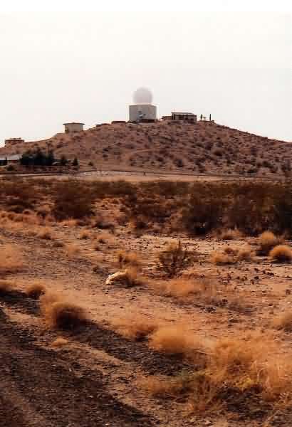
January 2004 photos contributed by Tim Tyler