----------------------------------------------------------------------------------------------------------------------------------------------------------------------------
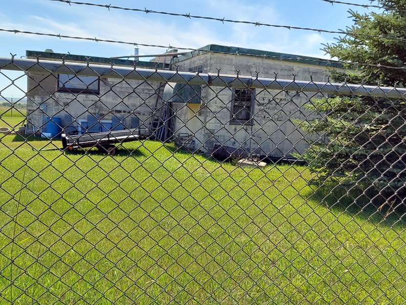
The following four photos were made by Tom Page on 2 August 2023

Looking south-southwest; the diesel-generator section is on the left, and the radar-equipment section is on the right
.
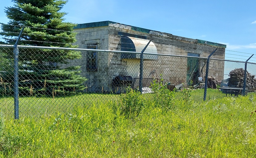
Looking southeast; this is the radar-equipment section, and the AN/FPS-18 radar tower stood to the left where that tree is now.
.
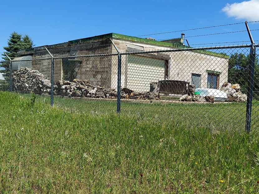
Looking northeast; the diesel-generator section is on the right, and the radar-equipment section is on the left
.
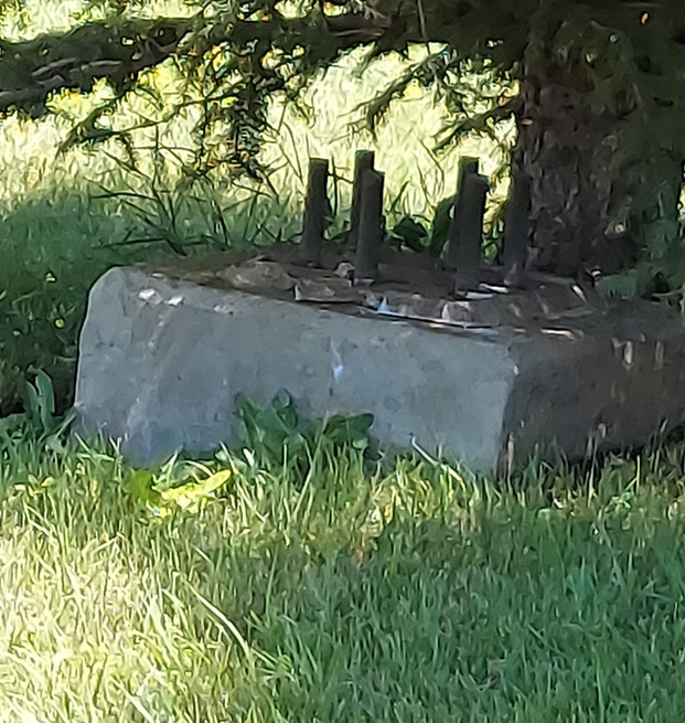
One of the three radar tower foundations/footings
.
----------------------------------------------------------------------------------------------------------------------------------------------------------------------------- .
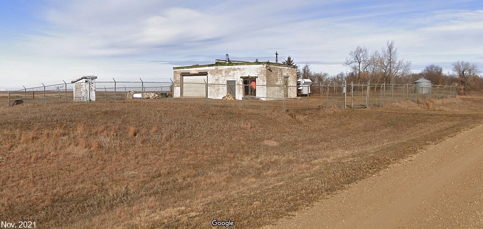
Looking northwest from the road
.
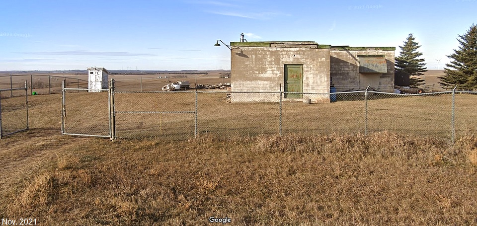
Looking west from the road
.
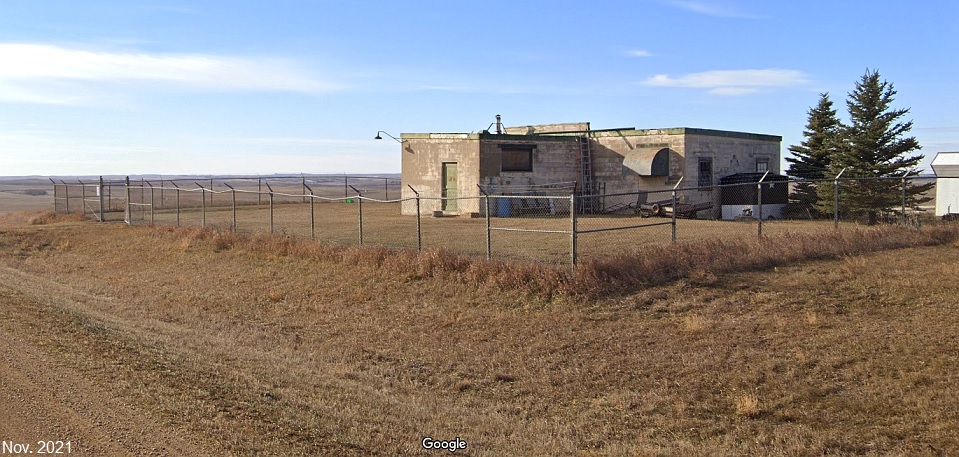
Looking southwest from the road
.
----------------------------------------------------------------------------------------------------------------------------------------------------------------------------
contributed by Bill Kickert, February 2000
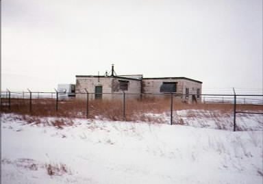
Bill writes: My son tracked down the location of "Regan". We took a trip out there on Saturday. The bld`g is still there but modified. The owners put in a garage door & two windows (but the glass was broken out) in the equipment room. We didn`t get inside of the fence (big padlock) but I took some pictures which I will send you when developed.
There is a farm across the road so I stopped in. The lady of the house was home, Delores Alm (her husband passed away in 1988, name Willis), she was willing to answer my questions. 1st, she nows owns the property plus they originally owned it and sold it to the A.F. (I bet they turned a nice handsome profit knowing what the "Niobe" property sold for!). She said she use to cook some meals for the "troops". I asked what they paid for the property & what was left in the bld`g, also when it closed down. She couldn`t remember these items, said "her husband took care of those matters" !!!. Still she seemed like a nice person, maybe about my age or younger. I told her we would be back this summer & she said that would be just fine.
Location: 12 miles East of US 83 on county road 36 then 2.8 miles South on 158th St NE (all the streets & avenues out there are numbered for "911"). 47-06`-15" North & 100-32`-15" West (this the exact lat. of the road running by the site).
Owner: Delores Alm, wife of Willis Alm (now deceased).
BURLEIGH County & GHYLIN township, state of N. Dakota
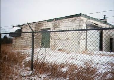
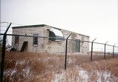
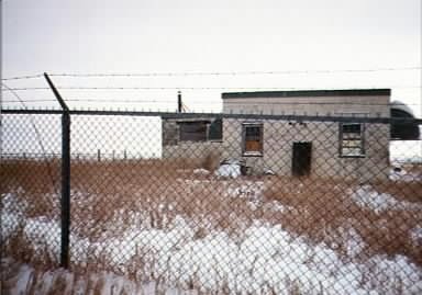
If you look closely, you can make out the mounts for the tower.
