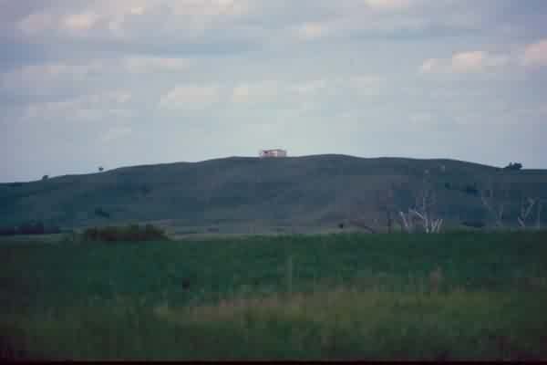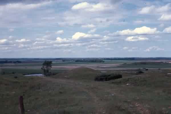

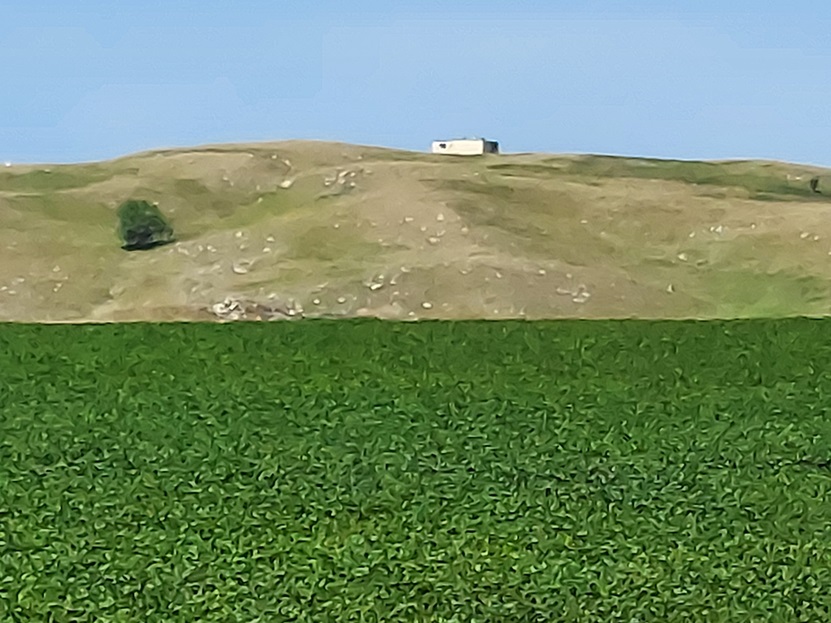
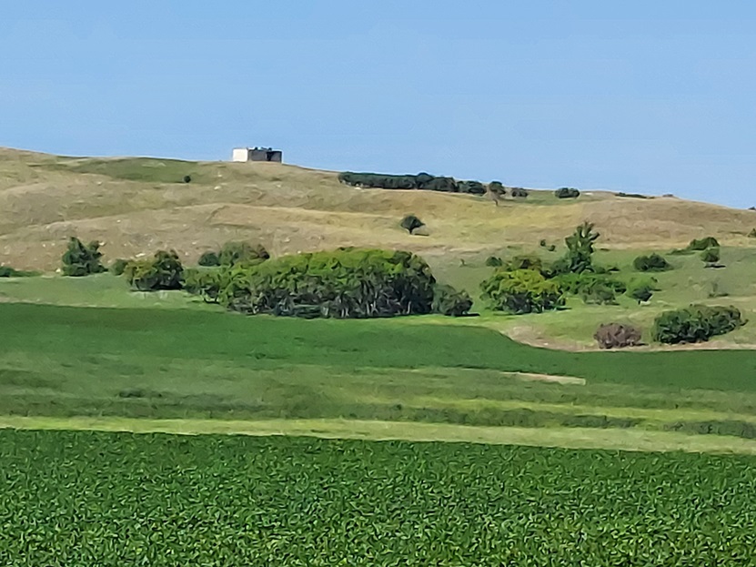
I was excited to get to the Sheyenne GFA, as the last known description said the radar tower was still standing. You take good roads to Sheyenne, ND, but then it is gravel going to the west. There are a lot of hills west of Sheyenne, but the directions were pretty good. You know you are there when the elevation starts to peak...and wouldn`t you know it, there was a small building on top of the tallest hill. As the description says, Black Hammer Hill is the tallest point in eastern ND. After having lived in eastern ND my whole life, I can now say I have been to its tallest peak!
The access road is from the east. You can drive to the northern edge of the hill and there is now a "no trespassing" sign on the closed gate. It appears the area and the hill are now a cow pasture. It is amazing how much wildlife is in the area. I saw deer, grouse, and ducks all over the hill area.
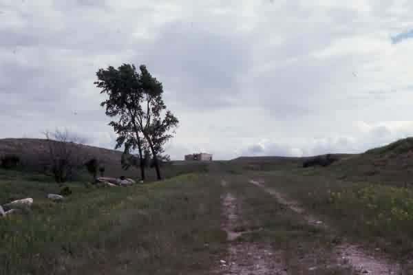
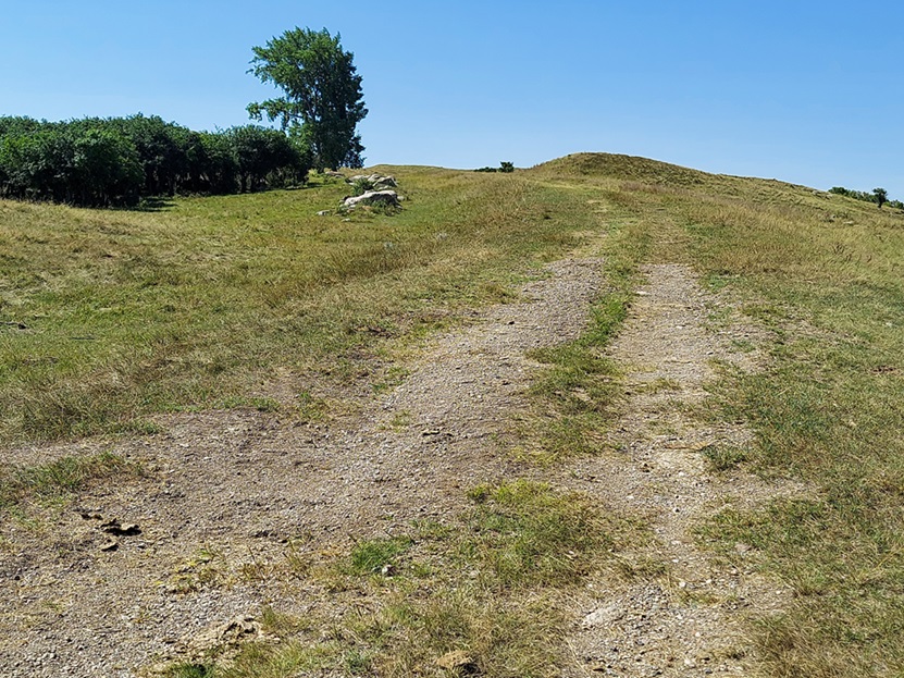
Of course, I had to jump the fence and attempt to see what was left. My 5 year old son came with me. It is about a 1/4 mile hike up to the top of the hill, and my son could only make about it about halfway. I carried him the rest of the way. The road to the top is only tire tracks now (seen in the photos).
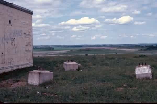
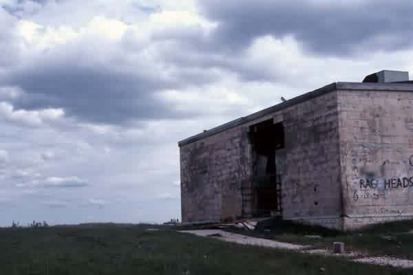
The perimeter security fence is gone and so is the tower. You can see the three concrete footings where it once stood. The building is in tough shape. Cows and pigeons have made a home of it and I only peaked in the holes in the wall. Having lived through numerous ND winters, I can only imagine what it was like to have to maintain this site. But again, what a view.
